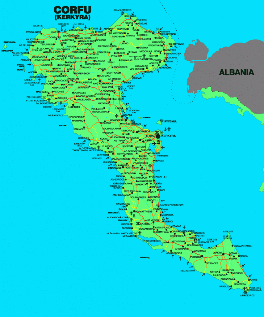
Map of Corfu
Corfu is one of the northernmost islands of the Ionian Sea. Located at the entrance of the Adriatic Sea, near the mainland coast. The northeastern coast of Corfu is quite close from the coast of Albania. The coastline of the island has a total length of 217 km and form several bays and capes. The terrain is mostly mountainous, particularly in the north, highest peak is Pantokratoras 914 m. The map of Corfu includes a road map of Corfu with many details of the towns and villages of Corfu. On the map we can locate the main town of the island Corfu or Kerkyra as well as the famous beaches and resorts of Corfu like Sidari ,Paleokastritsa ,Guvia and many others.The Corfu map has the location of the airport of Corfu .